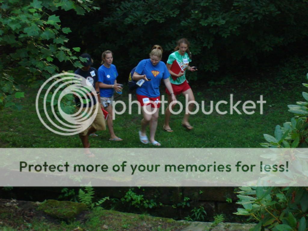
 After we ate dinner on the first night, we got a tour of the campus using our newly acquired GPS devices. A scavenger hunt had been set up beforehand. We were given latitude and longitude coordinates at each point we found, but we had to search for them first. For a lot of us, the activity served as a crash course in geocaching. Sorry, muggles. Each point was about a quarter mile apart, though we definitely got frustrated when we realized how much more efficient the tour could have been.
We heard some stories of the campus, including alumnus President McKinley's fun prank in Bentley. Apparently, he was a trouble-maker and thought it might be amusing to lead a cow up into the bell tower. For those less accustomed to being on the look-out for good senior prank ideas, cows can be led up stairs, but not down. Unfortunately, the only solution was to slaughter the cow in the bell tower. McKinley got into a lot of trouble.
A few other stories involving fraternities, suicide, the thirteenth plank of a bridge, and various upperclassmen verses lower classmen legends were shared. Oh, those crazy Allegheny kids!
4 comments:
What is easier-a compass, a map or GPS?
those GPS are a little bit tricky! :)
maybe I need to use a GPS device....would that help me find my car in the parking lot!!!
The GPS was kind of hard to get the hang of, but it's really useful. It's really only accurate within twenty feet at the best, so you have to search once you get to the area. I'd definitely say that GPS is easiest...it has a compass, map, and GPS all in one!
Post a Comment